Japan Relief Map
Map of Japan > Japan Locator Map • Japan Travel Tips • Japan Relief Map
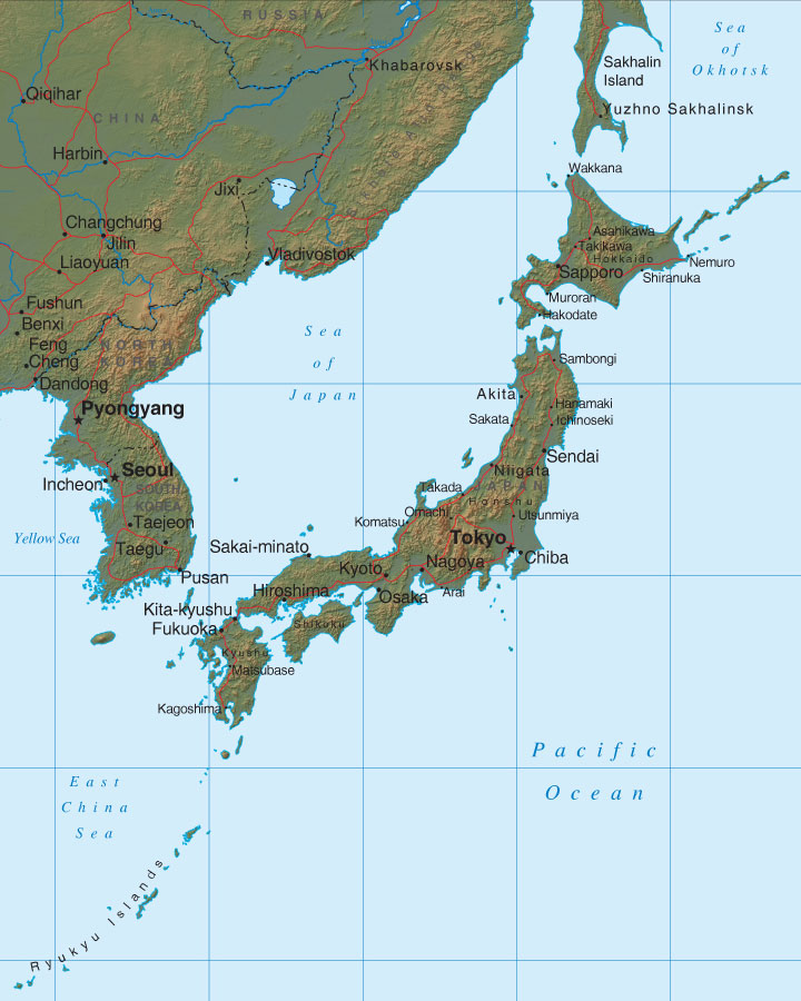 To print this map, click on the map. After map loads, press Ctrl+P.
 The most rural of the main islands is Hokkaido, which is located in the
north. This island supports the most farming, producing more than
half of Japan's grains, including wheat.
The most rural of the main islands is Hokkaido, which is located in the
north. This island supports the most farming, producing more than
half of Japan's grains, including wheat.
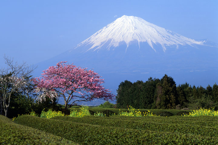 Honshu, located to the southwest of Hokkaido, is home to the Japanese
Alps and Mount Fuji, the highest mountain in Japan. This island also
encompasses the extensive Kanto Plains, in whose fertile soils many of
Japan's crops, including rice, wheat, and other grains, are grown.
Honshu is the most populated island of Japan, and is also home to much of
its industry and technology.
Honshu, located to the southwest of Hokkaido, is home to the Japanese
Alps and Mount Fuji, the highest mountain in Japan. This island also
encompasses the extensive Kanto Plains, in whose fertile soils many of
Japan's crops, including rice, wheat, and other grains, are grown.
Honshu is the most populated island of Japan, and is also home to much of
its industry and technology.
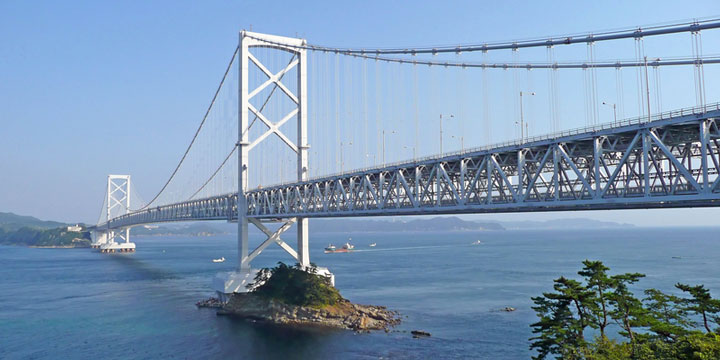 As you continue to travel south from Honshu, you will find the southern
islands of Shikoku and Kyushu. These islands are made up of mountain
peaks and uplands. These uplands stretch to the outlying Ryukyu
Islands. This chain of small islands, also known as the Nansei
Islands, has a subtropical climate, and includes the island of Okinawa.
As you continue to travel south from Honshu, you will find the southern
islands of Shikoku and Kyushu. These islands are made up of mountain
peaks and uplands. These uplands stretch to the outlying Ryukyu
Islands. This chain of small islands, also known as the Nansei
Islands, has a subtropical climate, and includes the island of Okinawa.